A land surveyor resolves a boundary based on evidence. The boundary resolution process typically involves the following steps:
Research and review existing records: The first step in resolving a boundary is to gather and review all available evidence related to the property, such as deeds, recorded surveys, legal descriptions, and maps. This information provides a foundation for understanding the history and current state of the boundary.
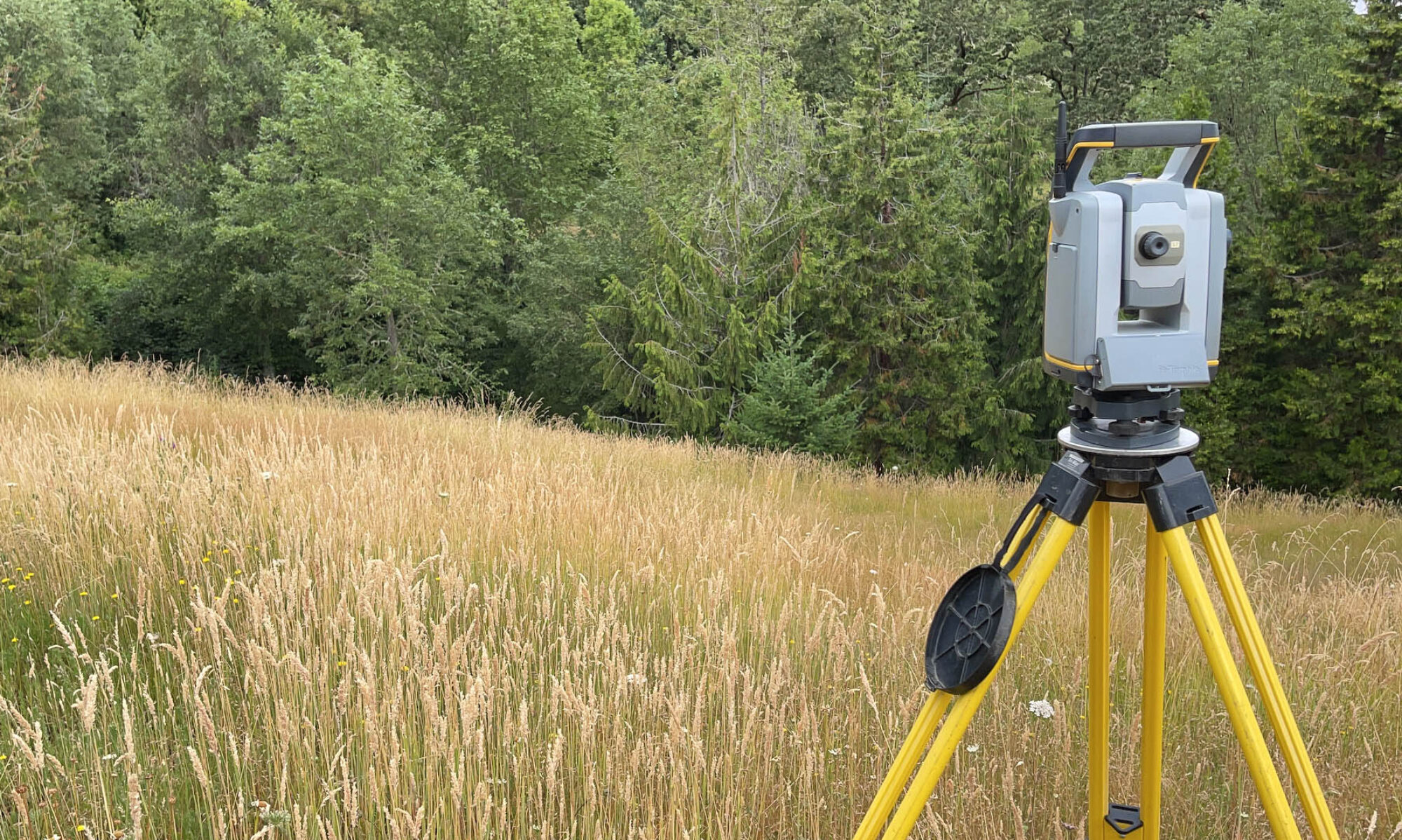
Conduct a field survey: A land surveyor will perform a field survey to physically locate and measure the existing physical features and boundaries of the property. Depending on the history of monuments set in the area, it may be necessary to expand the survey to collect enough evidence for a fruitful boundary resolution.
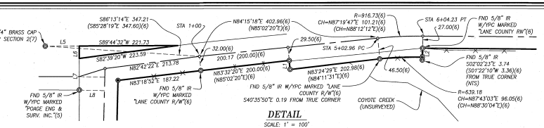
Analyze the evidence: The land surveyor will analyze the collected evidence, comparing it to the available records and any relevant legal principles. This may involve interpreting legal descriptions, determining the location of monuments, and considering any applicable boundary laws or precedents.
Make a determination: Based on the analysis of the evidence, the land surveyor will make a determination of the property’s boundary. This determination should be consistent with the available evidence and applicable legal principles.
Obtain any necessary approvals: Depending on the specific circumstances and requirements of the project, the land surveyor may need to obtain approvals or certifications from local planning and zoning authorities or other relevant agencies.
Establish and mark the boundary: Once the boundary determination has been made and any necessary approvals have been obtained, the land surveyor may establish and mark the boundary on the ground, using appropriate monuments and markers. This ensures that the boundary is clearly and permanently defined for future reference.
Prepare a survey plat or report: The land surveyor will prepare a survey plat or report documenting the boundary determination, including a description of the evidence considered, the methodology used, and the final boundary location. This survey should be clear, accurate, and consistent with the land surveyor’s professional standards and any applicable legal requirements.
File a survey or plat: Depending on the type of survey and whether monuments were set, a survey will be drafted up and recorded with the county surveyors office.
By following these steps, a land surveyor can resolve a boundary based on evidence in a thorough, professional, and legally defensible manner. This process is essential for ensuring that property boundaries are accurately defined and maintained, which can prevent disputes and facilitate land transactions and development.